Moel Siabod
... an isolated summit!
Moel Siabod - 872 metres
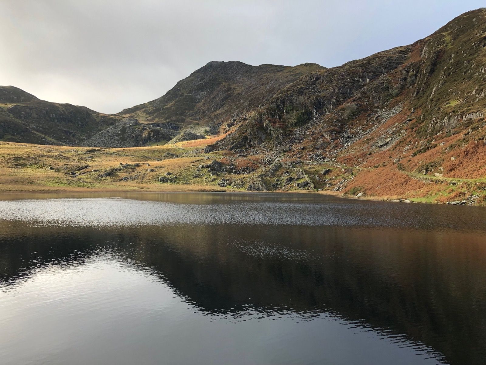
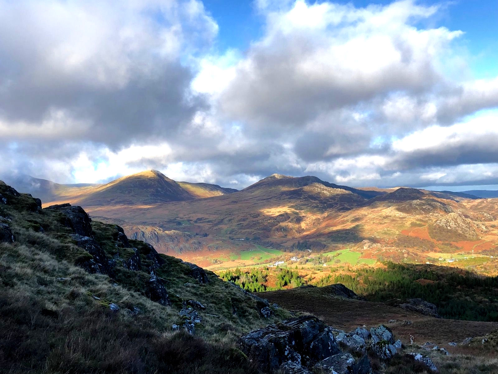
Moel Siabod is an isolated summit above the village of Capel Curig on one side and Dolwyddelan on the other. It is the highest peak in the Moelwyns mountain area. It is most commonly walked from the Capel Curig side, with popular routes starting from the < a href="https://pyb.co.uk/" target="_BLANK">Plas y Brenin mountain centre or from the east end of Capel Curig near the Bryn Glo car park. However, it can be approached starting from near the head of the Nantgwynant Valley heading towards Dolwyddelan, but turning left to the head to Moel Siabod. The lake Llyn-y-foel is located on the mountain. The land around the lake can, after heavy rain, be boggy. There are some remains of quarry workings on the east side of the mountain.
Be weather wiseCheck the Met-Office mountain weather service / detailed forecast for Eryri / Snowdonia before setting out |


