Mynydd Mawr
... fine views of coast and countryside!
Mynydd Mawr - 698 metres
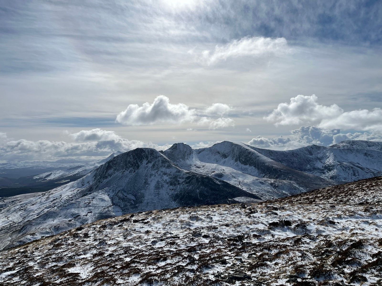
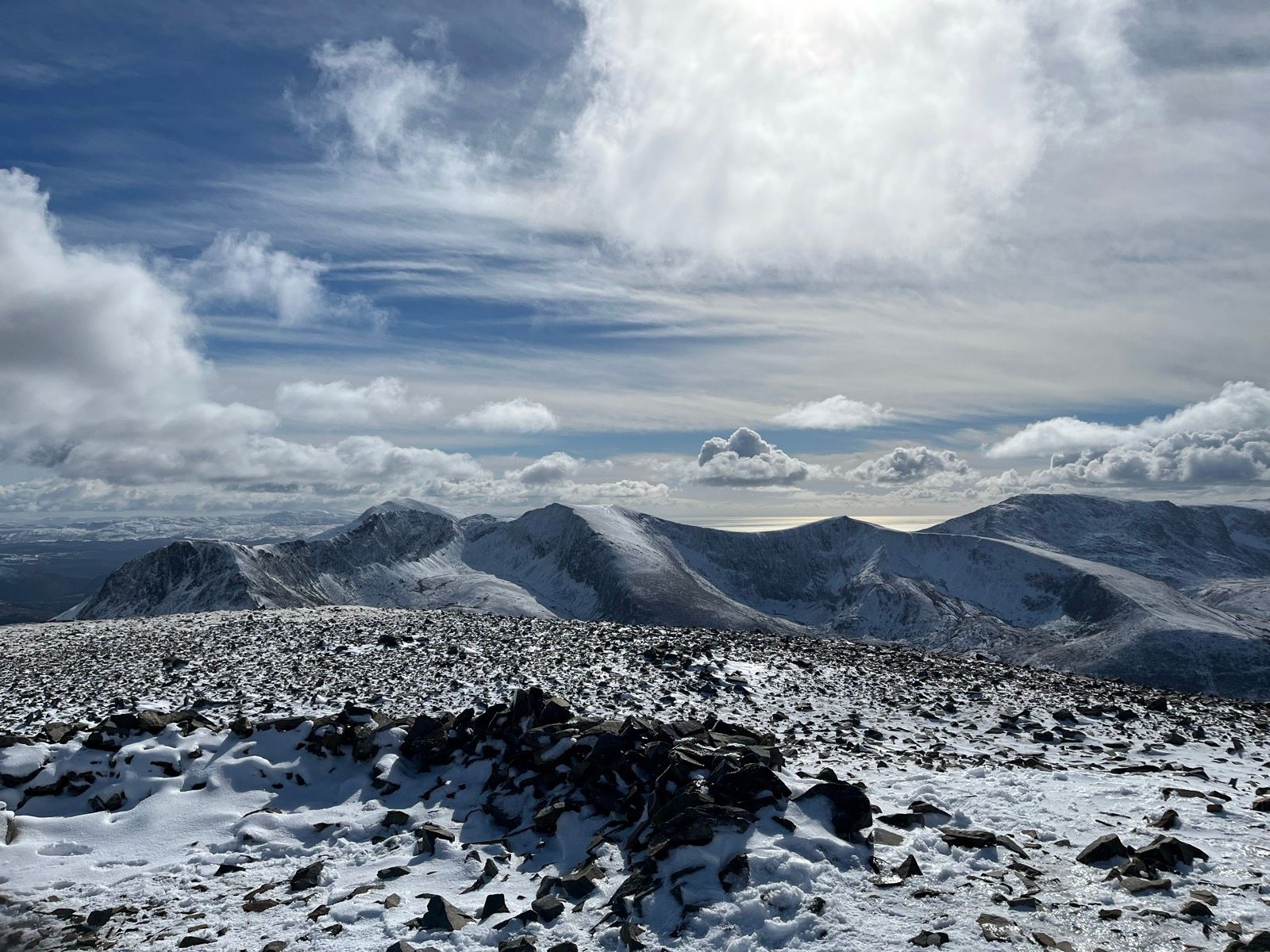
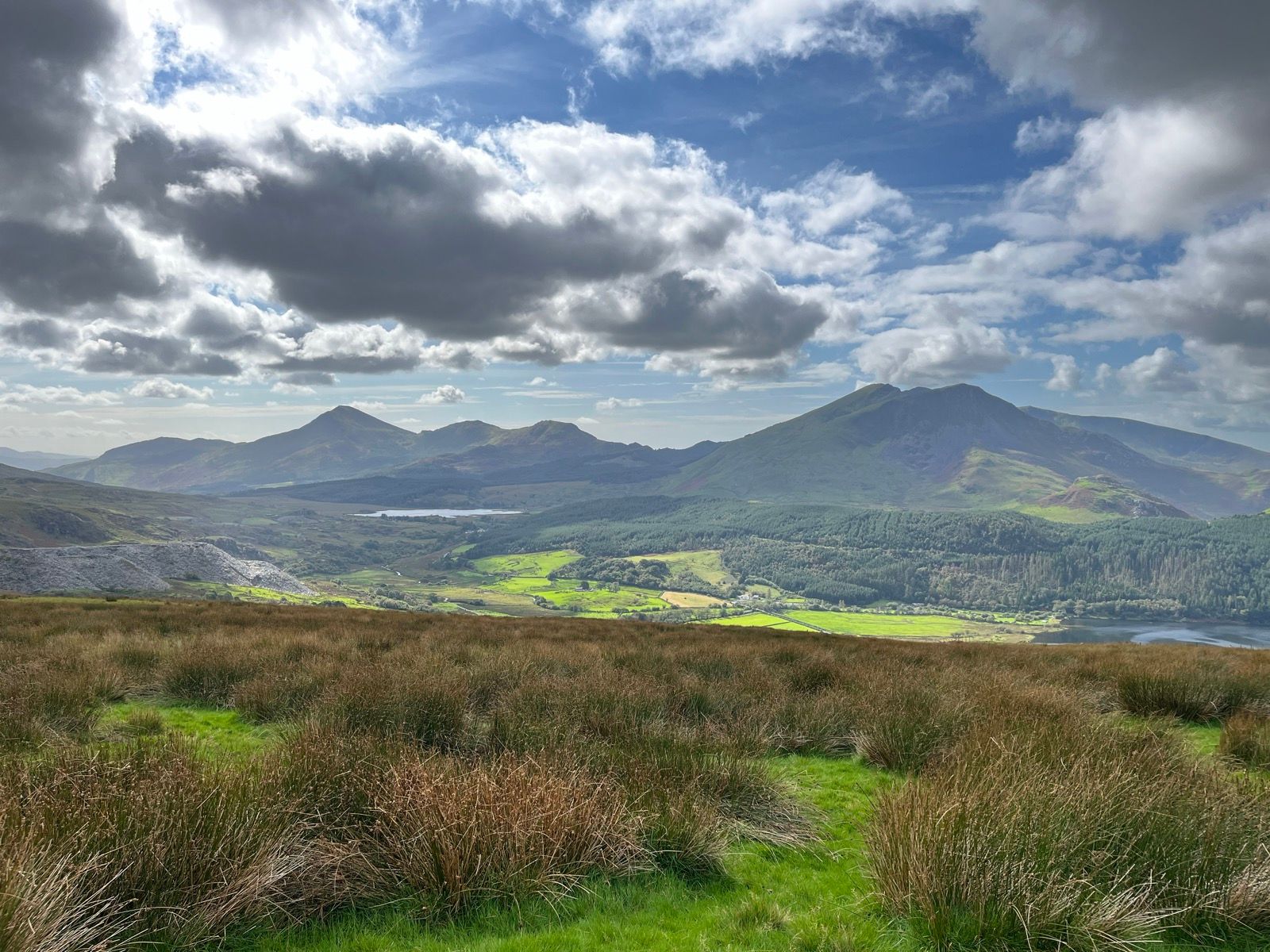
The general translation from its Welsh name, Mynydd Mawr, is 'big mountain', and can be climbed from Rhyd Ddu (which, from Nantgwynant can be reached, either by a short drive via Beddgelert, or by hiking starting along the Watkin Path before turning off to cross Snowdon South Ridge and then down to Rhyd Ddu). On Mynydd Mawr's west sie are the remains of ancient settlements and field systems. From the summit on a clear day it is possible to see the coast, including the Llyn Peninsula , Caernarfon Bay and Anglesey. To east is Moel Hebog and Mynydd Mawr is part of the Moel Hebog group of mountains.
[Routes on Mynydd Mawr do not feature in either 'Walks in and around Nantgwynant' or 'More Walks in and around Nantgwynant', although it can be clearly seen from some of the walks.]
Be weather wiseCheck the Met-Office mountain weather service / detailed forecast for Eryri / Snowdonia before setting out |


