Moelwyn Mawr
... a places of special scientific interest and history!
Moelwyn Mawr - 770 metres
Moelwyn Mawr is part of the Moelwynion area and can be reached from Nanggwynant by taking a route passing to the north of Llyn Langi and past Llyn Yr Adar to the north ridge of Cnicht, before descending to Clogwyn Brith and following the path south to the summit of Moelwyn Mawr, returning via a section of the Snowdonia Slate Trail, via Nantmor and Beddgelert, before returning along the valley to Nantgwynant.
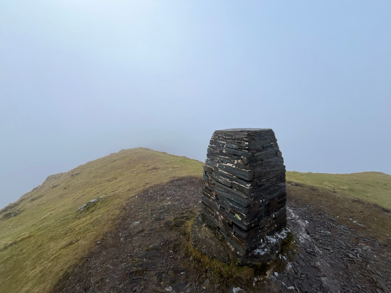
Mowlwyn Mawr’s summit overlooks the Vale of Ffestiniog with fine views in all directions on a clear day.
In 1990, Moelwyn Mawr was designated a Site of Special Scientific Interest of national scientific importance due to its well preservd glacial landscape.
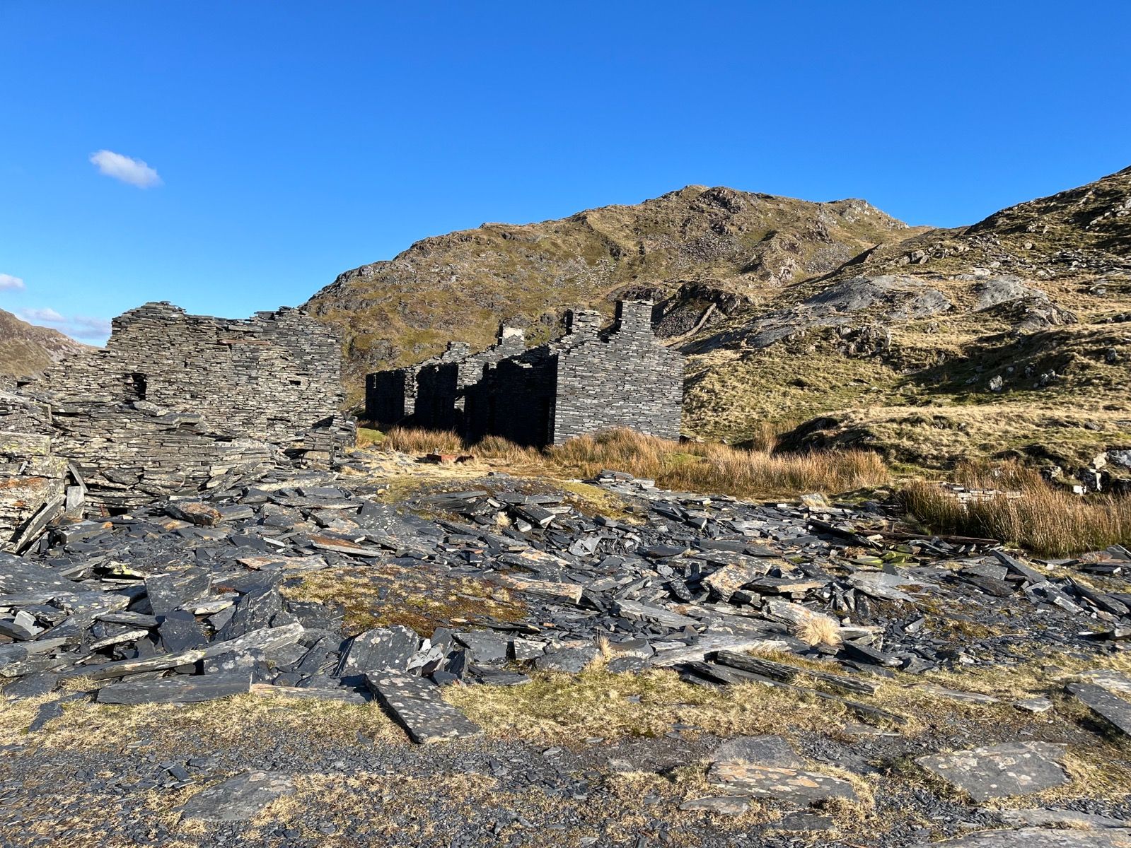
Slate quarrying was a major industry in the latter 1800s and early 1900s in the area and the remains of several major quarries, including old buildings are clearly visible near Mowelwyn Mawr. Today Moelwyn Mawr has a high reservoir, Llyn Stwlan, which is connected to the Ffestiniog hydroelectric power station in Tanygrisiau.
Be weather wiseCheck the Met-Office mountain weather service / detailed forecast for Eryri / Snowdonia before setting out |

